
Dew Point vs. Relative Humidity: Why the Number That Barely Moves Tells You More
Relative humidity swings all day. Dew point mostly holds steady, and when it drops, your burn day just changed. I worked through the math to show why the steady number is often the more useful one.

Every burn prescription has a relative humidity range in it, usually something like 30 to 55 percent. Almost none of them mention dew point. That always struck me as a little odd, because relative humidity is a number that moves all day long even when the air itself hasn't changed at all, while dew point is the number that tells you whether it has. So I sat down with the standard humidity formula, ran a few ordinary days through it, and tried to work out when each number is actually telling you something.
Two ways to describe the same air
Dew point is the temperature the air would have to cool to before it's saturated and dew starts to form. Alabama Extension's prescribed fire weather guide defines it as "how cool the air temperature must be for the air to be saturated" (Alabama Cooperative Extension). It's a direct measure of how much water vapor is in the air. More vapor, higher dew point.
Relative humidity is that same water vapor expressed as a percentage of what the air could hold at its current temperature. And warm air can hold a lot more than cold air. So relative humidity depends on two things at once: how much water is there, and how warm it is.
The way I think about it: dew point is how much water is in the glass. Relative humidity is how full the glass looks, and the glass gets bigger every time the sun warms the air.
Running a day through the formula
I used the standard Magnus approximation that meteorologists use to convert between temperature, dew point and relative humidity, and held the dew point fixed while the temperature climbed through a normal day:
import math
def rh(temp_f, dewpoint_f):
    t, td = (temp_f - 32) / 1.8, (dewpoint_f - 32) / 1.8
    es = lambda x: 6.112 * math.exp(17.62 * x / (243.12 + x))
    return 100 * es(td) / es(t)
Air temperature | RH if dew point is 20°F | RH if dew point is 30°F | RH if dew point is 40°F |
|---|---|---|---|
45°F | 37% | 55% | 83% |
55°F | 25% | 38% | 57% |
65°F | 18% | 27% | 40% |
75°F | 13% | 19% | 28% |
Read across any row and down any column and two things show up.
First, relative humidity swings hard with temperature even when nothing else changes. With a steady 30°F dew point, RH goes from 55% at 45°F to 19% at 75°F. Same air, same amount of water. The Forest Encyclopedia's rule of thumb is that each 20°F rise "roughly halves" relative humidity (Forest Encyclopedia, relative humidity), and the table bears that out: 55% at 45°F becomes 27% at 65°F.
Second, the dew point decides where the whole day lands. On a 65°F afternoon, a 40°F dew point gives you 40% humidity, comfortably inside a typical prescription. A 20°F dew point at the same temperature gives you 18%, which is outside nearly every prescription I've seen.
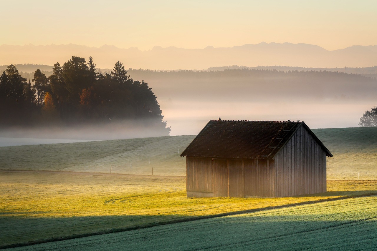
Fog forms when the air cools to its dew point. A morning like this tells you the dew point is close to the overnight low. Photo: Pixabay.
Why that matters for a burn
Most prescriptions are written in relative humidity, and for good reason: it's what fine fuels respond to. Alabama Extension says "it is best to burn when relative humidity ranges from 30 to 55 percent," and the Forest Encyclopedia warns that "when relative humidity falls below 30 percent, prescribed burning becomes dangerous."
The trouble is that RH alone doesn't tell you why it's 35% right now, or where it's headed. Dew point does. Here's how I'd use it:
To forecast your own afternoon. If the morning dew point is 30°F and the forecast high is 75°F, the table says your afternoon RH will be around 19%, even if it's a comfortable 55% at 9 a.m. That's the whole burn window decided before you light anything.
To spot a change in the air mass. If the dew point is falling during the day, drier air is moving in. I ran a 70°F afternoon at a 45°F dew point (41% RH) and again at a 25°F dew point (18% RH). Same temperature, but the humidity was cut by more than half. That kind of drop usually comes with a front or a wind shift, which is exactly the situation that turns burns into escapes.
To judge the night. The overnight low can't go much below the dew point without dew or frost forming. A high dew point means good overnight humidity recovery. A low one means the air stays dry all night, and your fine fuels start the next morning already dry.
Some meteorologists use dew point bands as a quick fire danger guide. One local TV weather team put it as dew points in the 40s and 50s meaning low fire risk, the 30s elevated, and the 20s or lower very high (KWQC). That's one forecaster's rule of thumb, not an official standard, but it lines up well with the table above: at typical spring afternoon temperatures, a dew point in the 20s almost always puts RH under 30%.

Heavy dew means the air cooled to its dew point overnight, which usually signals good humidity recovery and damp fine fuels in the morning. Photo: Pixabay.
Where to find dew point
Nearly every weather app shows dew point somewhere, often one tap below the headline numbers. National Weather Service fire weather forecasts list humidity and temperature by the hour, and the hourly graphs on most forecast pages include dew point. A few habits that help:
Write down the morning dew point. Pair it with the forecast high and the table above tells you roughly where afternoon humidity will bottom out.
Watch the trend, not just the value. A dew point that drops 10 degrees or more during the day is a warning sign, even if the RH still looks acceptable at the moment.
Check the overnight picture. Our post on overnight humidity recovery explains why a dry night carries into the next day.
Keep RH in the prescription. Dew point is a forecasting tool. Your burn plan limits should still be written in relative humidity, because that's what the fuels feel.
Humidity is only one part of a burn day, of course. Wind, mixing height and timing all interact with it. If you want the rest of the picture, see how to read a fire weather forecast, mixing height and smoke, and why afternoon burns are riskier than morning ones. And if the forecast shows a falling dew point together with strong wind, there's a good chance a Red Flag Warning isn't far behind.
What I find satisfying about this is how much one boring number explains. Relative humidity is the one that changes all day and gets all the attention. Dew point mostly sits still, and that's exactly why it's useful: when it does move, something real has happened to the air. My next experiment is going back through a season of burn days and checking how often a falling dew point showed up before the days that went sideways.
Frequently asked questions
What's the difference between dew point and relative humidity?
Dew point measures how much water vapor is actually in the air. Relative humidity measures that vapor as a percentage of what the air could hold at its current temperature, so it changes as the air warms and cools.
Why does humidity drop in the afternoon?
Usually because the air warms up, not because it gets drier. Warm air can hold more water, so the same amount of vapor becomes a smaller percentage. Roughly, each 20°F of warming halves the relative humidity.
What relative humidity is good for a prescribed burn?
Extension guidance commonly recommends 30 to 55 percent, and warns that burning below 30 percent becomes dangerous. Always follow your own written prescription.
What does a falling dew point mean on burn day?
Drier air is moving in, often with a front or wind shift. Humidity can drop sharply even if the temperature doesn't change, so treat it as a reason to slow down or stop.