
The Forecast Says 15 mph, Your Fire Feels 5: Converting Forecast Wind to Midflame Wind
Your weather app and your fire measure wind at different heights. I worked through the conversion from forecast wind to the wind your flames actually feel, with tables for open grass, brush and timber.
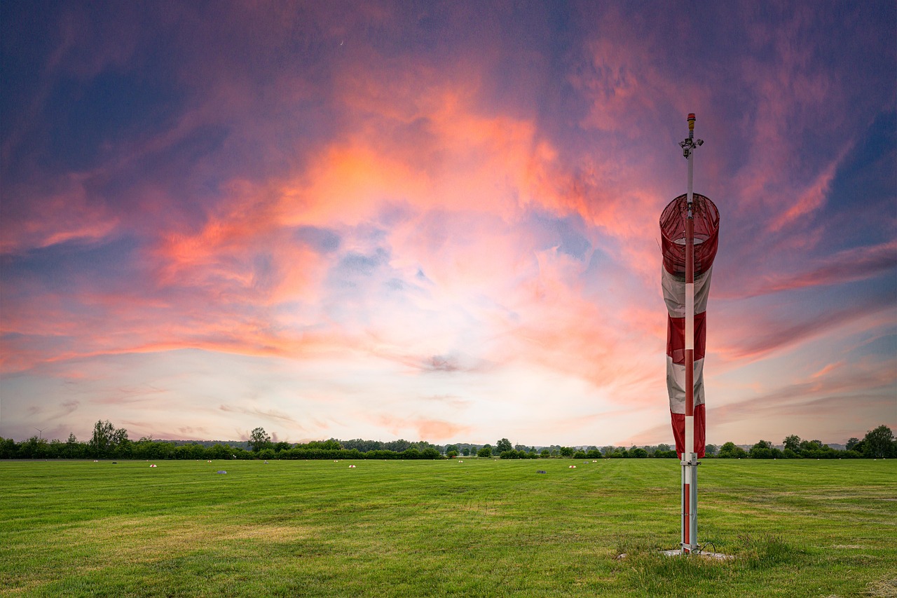
The forecast says 15 mph. You walk out to the field, hold up a finger, and it feels like maybe 5. Is the forecast wrong? Usually not. The forecast and your fire are measuring wind in different places, and the gap between them is large enough to change what kind of burn you're going to have. I wanted to know exactly how large, so I worked through the chain of conversions from "number on the app" to "wind the flames actually feel," and ran it across a range of everyday forecasts. This is that walk-through.
Three heights, three different winds
There are three wind numbers that matter, and they're measured at three different heights:
33-foot wind. Standard weather stations measure wind 10 meters (33 feet) up. The National Weather Service's Morristown office defines this one plainly in its fire weather forecast user guide as wind "measured 10 meters (33 feet)." This is roughly what your phone's weather app is showing you.
20-foot wind. Fire weather uses its own standard: a 10-minute average measured 20 feet above the vegetation. NWS fire weather planning forecasts are built around this level (see the NWS fire weather services directive), and so are the remote fire weather stations most agencies use.
Midflame wind. The wind at the middle height of the flames. NWCG's firefighter math course defines it as "the velocity of the winds... taken at the mid-height of the flames" (NWCG, Midflame Windspeed). This is the one the fire actually responds to.
Wind slows down as it gets closer to the ground. Air near the surface drags against grass, brush, fences and trees. It's a bit like a river: the water in the middle of the channel is fast, and the water along the banks barely moves. Your fire lives along the bank.
Step 1: from 33 feet down to 20 feet
I couldn't find an official one-number conversion between the 33-foot and 20-foot levels, so I worked one out myself using the standard logarithmic wind profile that meteorologists use for the lowest layer of the atmosphere. The answer depends on how rough the ground is, so here it is for four kinds of land:
Surface | 20-ft wind as a share of 33-ft wind |
|---|---|
Short grass | 93% |
Grass and pasture | 92% |
Tall grass and crops | 89% |
Brush | 87% |
So the first step only takes off about 10%. A 15 mph app forecast is roughly a 13.5 mph 20-foot wind over typical pasture. This is my own estimate from textbook physics, not an agency number, so use it as a ballpark. If you're reading a fire weather forecast instead of a phone app, you can skip this step entirely, because that forecast is already at 20 feet.
Step 2: from 20 feet down to the flame
This is where the big drop happens. Fire behavior references multiply the 20-foot wind by a wind adjustment factor that depends on how exposed the fuel is. The table below comes from the IFTDSS wind adjustment worksheet, which is taken from the NWCG Fireline Handbook:
How exposed the fuel is | Adjustment factor |
|---|---|
Unsheltered chaparral or heavy slash | 0.5 |
Unsheltered grass, shrub, and light-to-medium slash | 0.4 |
Partially sheltered (scattered trees) | 0.3 |
Fully sheltered, open timber stand | 0.2 |
Fully sheltered, dense timber stand | 0.1 |
NWCG's own worked example: 15 mph 20-foot wind in a dense, fully sheltered stand gives "15 mi/h × 0.1 = 1.5 mi/h" at the flames. That's a 10X reduction. In open grass the factor is 0.4, so you keep 40% of the 20-foot wind.
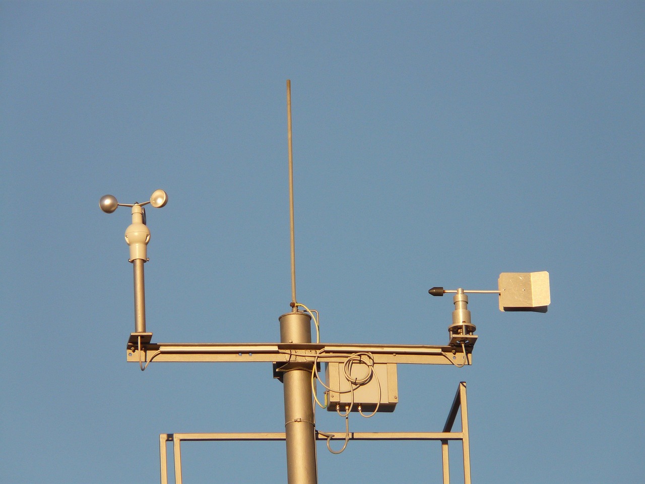
Fire weather stations measure wind 20 feet above the vegetation, averaged over 10 minutes. The flames, of course, are much closer to the ground. Photo: Pixabay.
Running the whole chain
Here's the full conversion as a few lines of Python, so you can see there's nothing mysterious going on:
def midflame_wind(app_wind_mph, adjustment=0.4, height_ratio=0.9):
    """App (33 ft) wind -> 20 ft wind -> midflame wind."""
    wind_20ft = app_wind_mph * height_ratio
    return wind_20ft * adjustment
And here's what comes out for a range of everyday forecasts:
App wind (33 ft) | 20-ft wind | Chaparral / heavy slash (0.5) | Open grass (0.4) | Scattered trees (0.3) | Open timber (0.2) | Dense timber (0.1) |
|---|---|---|---|---|---|---|
10 mph | 9.0 | 4.5 | 3.6 | 2.7 | 1.8 | 0.9 |
15 mph | 13.5 | 6.8 | 5.4 | 4.0 | 2.7 | 1.4 |
20 mph | 18.0 | 9.0 | 7.2 | 5.4 | 3.6 | 1.8 |
25 mph | 22.5 | 11.2 | 9.0 | 6.8 | 4.5 | 2.2 |
That's the "15 mph forecast, feels like 5" mystery solved: 15 mph on the app becomes about 5.4 mph at the flames in open grass. The forecast wasn't wrong. It was just describing wind higher up than your fire.
The same table also explains why a burn in open pasture and a burn under pines on the same afternoon behave so differently. Same forecast, but the midflame wind differs by a factor of about 4.
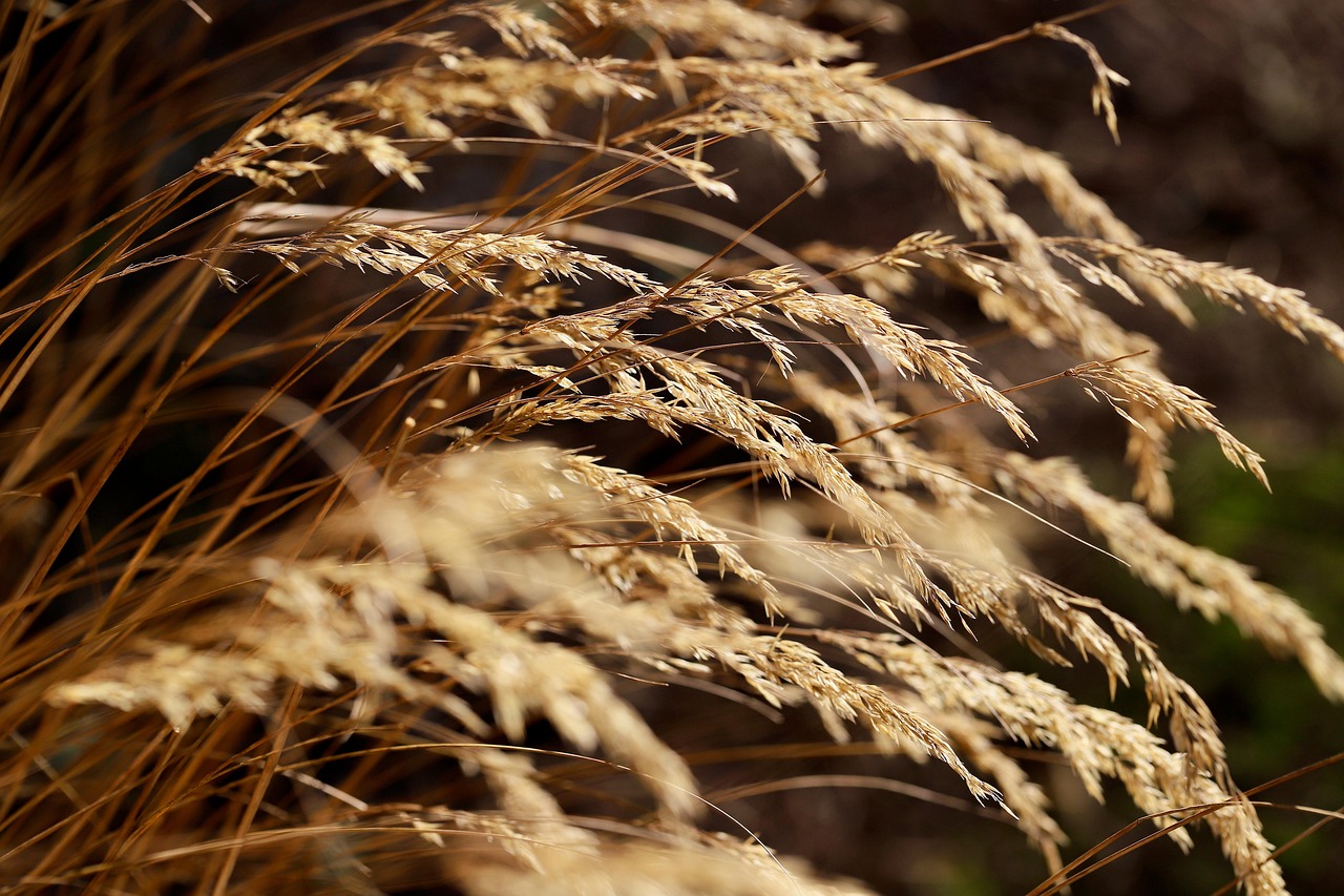
Cured grass in the open gets the full 0.4 adjustment factor: it keeps more of the wind than any fuel under a canopy. Photo: Pixabay.
Why a few mph at the flame is a big deal
A fire spreading in wind takes on an egg-ish ellipse shape, fast at the head and slow at the back. Fire models like FlamMap and FARSITE use Anderson's (1983) relationship between midflame wind and that ellipse's length-to-breadth ratio (see the FlamMap technical notes). I ran it, and the shape changes fast:
At 2 mph midflame, the fire is about 1.5 times as long as it is wide.
At 5 mph midflame, it's about 3.2 times as long as wide.
At 8 mph midflame, about 7 times as long as wide.
Going from 2 to 5 mph at the flame (roughly the difference between a 6 mph and a 14 mph app forecast in open grass) more than doubles how stretched-out and head-driven the fire becomes. That's why fire people care so much about a number that sounds small.
Gusts are the other half of the story. A North Carolina Forest Service technical note on wind observations puts it bluntly: rapid changes in fire behavior come from "rapid changes in the wind blowing on the burning fuel, and not by changes in the long term average windspeed 20 feet above ground" (NCFS Fire Weather Technote 01). The 10-minute average hides the gusts, and the gusts are what throw embers across a line. If the forecast shows gusts well above the sustained wind, I'd treat the gust number as the real one for your firebreaks.
Checking it with your own meter
A cheap handheld wind meter held at eye level in open grass is reading something close to the midflame wind already. The NWS office in Amarillo even publishes a wind adjustment tool that converts 20-foot station wind to eye-level wind by fuel type and shelter, which is the same math as the table above.
Two cautions. First, a handheld reading is a short sample, so it'll swing around. The NC technote's table shows a 20 mph handheld gust corresponding to only about 10–15 mph of 20-foot average wind, depending on how stable the air is. Take several readings over a few minutes. Second, take them where the fire will be, not in the lee of the truck. A meter behind a tree line is measuring the tree line.
For reference, guidance on backing fires in pine stands calls for "in-stand winds of 1 to 3 mph at eye level" (Forest Encyclopedia, backing fires). Under a dense canopy, that's a 20-foot wind in the 10–30 mph range. In open grass, the same eye-level wind is only about a 3–8 mph 20-foot wind. Same target at the flame, completely different forecast to look for.
How I'd use this on burn day
Know which wind you're reading. Phone app: 33 feet. Fire weather forecast: 20 feet. Handheld meter: roughly midflame. Write down which one your prescription uses.
Convert with the table. Multiply by about 0.9 to get from app wind to 20-foot wind, then by the adjustment factor for your fuel. Open grass: 0.4. Under timber: 0.1–0.2.
Plan the edges, not the middle. If half your unit is open grass and half is under trees, the open half will run hotter on the same wind. Put your strongest firebreaks on the open, downwind side.
Respect the gusts. Check the gust forecast and the timing of any wind shift. A Red Flag Warning is the forecaster telling you the gusts and humidity together are dangerous.
Watch the afternoon. Winds often pick up as the day heats, which is part of why afternoon burns are riskier than morning ones.
Think about the smoke too. The same wind sets where your smoke goes. Our free smoke drift estimator and the post on mixing height cover that side.
None of this replaces a written burn plan with wind limits in it, or the judgment of someone who's lit a few hundred acres. But I find it useful to know that the number on the app has to pass through two big multipliers before it means anything to the fire. Once you know that, a "15 mph" day stops being one thing. It's a 5 mph day in the pasture and a 1.5 mph day under the pines. The obvious next experiment is putting a meter on a pole at 20 feet and another at knee height on the same afternoon and seeing how well these factors hold up on real ground. I'm curious how far off the textbook numbers are in a real field.
Frequently asked questions
What is midflame wind speed?
It's the wind speed at the middle height of the flames. It's what actually drives the fire, and it's usually much lower than the forecast wind because wind slows near the ground.
How do I convert a 20-foot wind to midflame wind?
Multiply by a wind adjustment factor: about 0.4 for open grass, 0.5 for open chaparral or heavy slash, 0.3 for partly sheltered fuels, and 0.1–0.2 under timber. A 15 mph 20-foot wind in open grass is about 6 mph at the flames.
Is the wind on my phone app the same as a fire weather forecast?
No. Most apps show 33-foot (10-meter) wind. Fire weather forecasts use 20-foot wind. The difference is only about 10%, but the conversion down to the flame is much bigger.
Should I plan around the average wind or the gusts?
Both, but gusts drive sudden changes in fire behavior and ember spotting. If gusts are well above the sustained wind, plan your lines and crew around the gusts.